Wednesday morning, July 15 - The Taylor Hollow fire has been 40 percent contained, according to last night's update from the Forest Service. The fire had grown to around 108 acres, up from 92 acres on Monday.
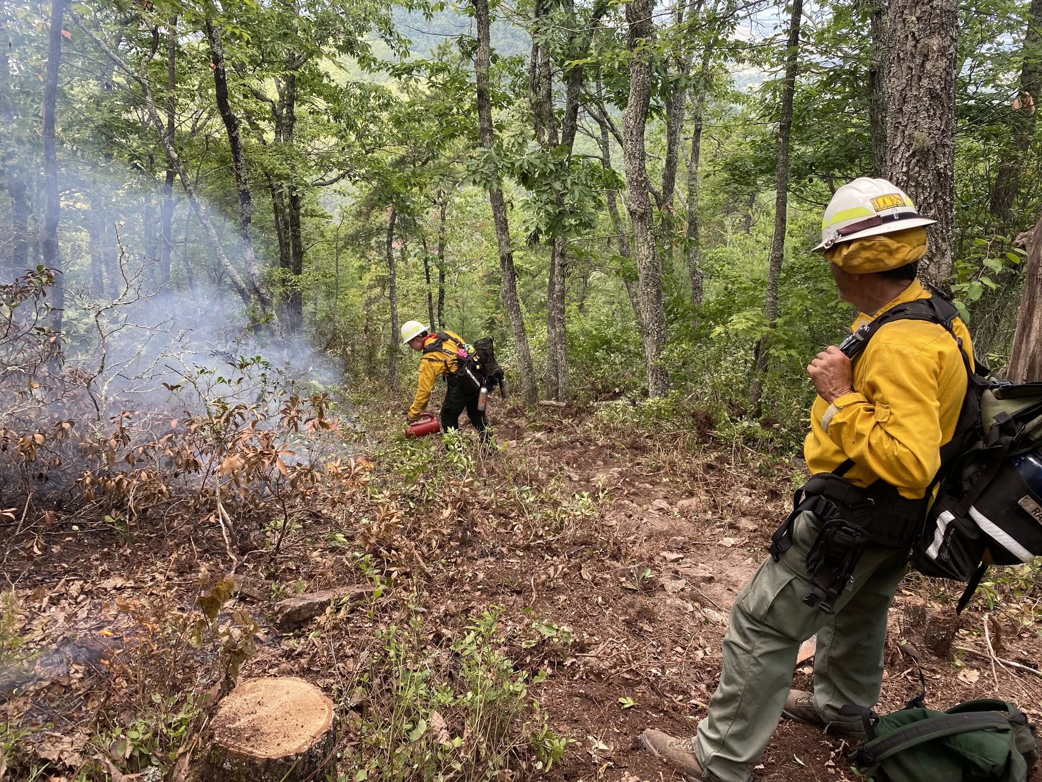
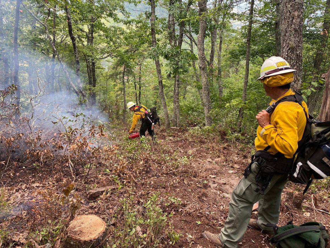
On Tuesday, firefighters burned vegetation inside containment lines to prevent more spread, which increased the visible fire activity in the area, particularly near Irish Creek. Whetstone Ridge Trail and Big Mary’s Road are still temporarily closed.
Tuesday - The Taylor Hollow Fire in Rockbridge County had grown to approximately 92 acres as of Monday and was only 20% contained after burning for nine days, according to the U.S. Forest Service.
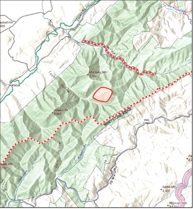
The fire was discovered on July 5 about five miles east of Fairfield in the George Washington and Jefferson National Forest. The initial fire was just 10 acres, but the lack of rain in recent days and steep, rocky terrain has made it hard for crews to contain, officials said.
The News-Gazette spoke to Forest Service Public Information Officer Stephanie Chapman Tuesday morning, who said the cause of the fire has not been determined, but there was lightning in the area at the time it broke out on Sunday, July 5.
According to the Forest Service, 131 people are now working to put out the blaze, including three 20-person fire crews and 53 firefighters and support personnel, a five-person crew supporting efforts by helicopter, and 13 fire engine crew members. That’s up from 30 crew members initially sent to the area.
Chapman said that the crews have come from California, Texas, West Virginia, Florida and Georgia to aid Virginia fire crews with the effort.
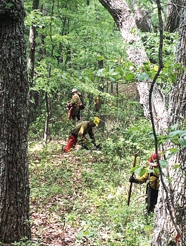
Chapman said a few firefighters have suffered minor injuries because of the difficult terrain.
“With the little bit of rain we did have, the leaves become slippery, so they have to be careful of their footing and move slow,” Chapman said. She said most injuries have been from “wear and tear and twisting.”
A Type 1 firefighting helicopter is pulling water from a nearby pond to do bucket drops on the flames. The Type 1 helicopter is the largest and fastest of firefighting helicopters and can typically carry up to 700 gallons of water, according to the National Interagency Fire Center.
Damper conditions in recent days tamped down the fire enough for crews to set up containment lines closer to the fire’s perimeter by Monday. Firefighters began work on a burnback on Monday, which involves burning any potential fuel inside the containment lines to keep the fire from growing.
Chapman said burnbacks may cause people to see more smoke in the area. So far, minimal smoke has been visible outside the immediate area of Irish Creek because of the humidity and the fact that the fire is so remote. An air monitor was brought in Monday to make sure air quality stayed safe for local communities. At the moment, Chapman said, there is little to no risk of the fire spreading to the nearby community of Irish Creek. Chapman said the timeline for when the fire may be contained is hard to predict and is weatherdependent.
The Whetstone Ridge Trail (#523) and Big Mary’s Road (#104) are temporarily closed to all public use.
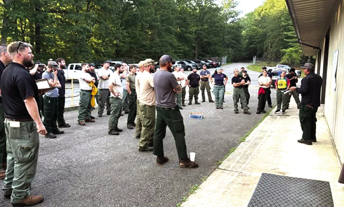
Firefighters are holding morning meetings in Buena Vista and then typically working grueling 12-hour shifts.
“They are working hard,” Chapman said. “Our firefighters are professional, they are hardworking and they are very dedicated. And temperatures are going to increase, so we appreciate the community support.”